Field at Wootton Broadmead
Introduction
The photograph on this page of Field at Wootton Broadmead by M J Richardson as part of the Geograph project.
The Geograph project started in 2005 with the aim of publishing, organising and preserving representative images for every square kilometre of Great Britain, Ireland and the Isle of Man.

There are currently over 7.5m images from over 14,400 individuals and you can help contribute to the project by visiting https://www.geograph.org.uk
Field at Wootton Broadmead
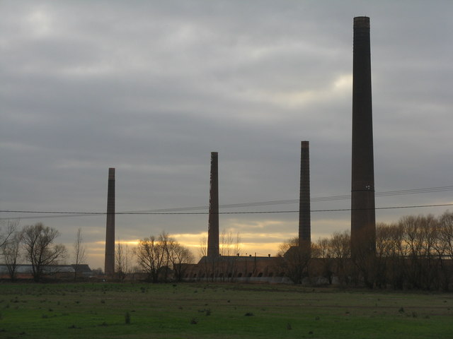
Image: © M J Richardson Taken: 28 Nov 2011
With the four remaining Stewartby brickworks chimneys looming in the background.
Images are licensed for reuse under creativecommons.org/licenses/by-sa/2.0
Image Location
Latitude
52.076055
Longitude
-0.512086