Brickyard Field trig point
Introduction
The photograph on this page of Brickyard Field trig point by Richard Law as part of the Geograph project.
The Geograph project started in 2005 with the aim of publishing, organising and preserving representative images for every square kilometre of Great Britain, Ireland and the Isle of Man.

There are currently over 7.5m images from over 14,400 individuals and you can help contribute to the project by visiting https://www.geograph.org.uk
Brickyard Field trig point
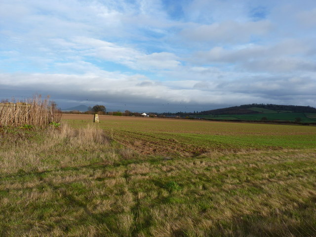
Image: © Richard Law Taken: 26 Nov 2011
Trig S5064 just north of Frodesley. Despite being at a relatively low altitude (only 145m) it commands good views of the hills all around, including The Wrekin in the distance.
Images are licensed for reuse under creativecommons.org/licenses/by-sa/2.0
Image Location


Leaflet Map data © OpenStreetMap
Latitude
52.609534
Longitude
-2.720468