Two routes to the Bridgend Inn, Crumlin
Introduction
The photograph on this page of Two routes to the Bridgend Inn, Crumlin by Jaggery as part of the Geograph project.
The Geograph project started in 2005 with the aim of publishing, organising and preserving representative images for every square kilometre of Great Britain, Ireland and the Isle of Man.

There are currently over 7.5m images from over 14,400 individuals and you can help contribute to the project by visiting https://www.geograph.org.uk
Two routes to the Bridgend Inn, Crumlin
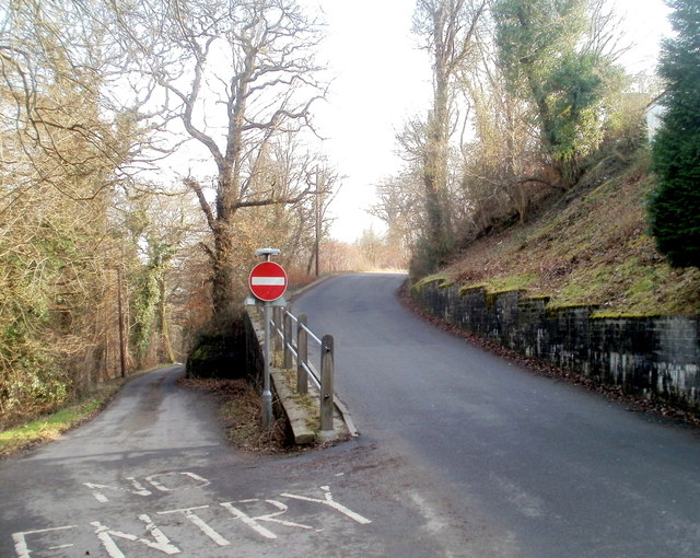
Image: © Jaggery Taken: 17 Feb 2011
Walkers arriving here from Kendon Road behind the camera can choose the road on the left for a flat walk to the Bridgend Inn http://www.geograph.org.uk/photo/2299107 via Kennard Terrace, or the road on the right for a steepish walk through the central part of the village of Rhiw. Motorists of course have only one choice.
Images are licensed for reuse under creativecommons.org/licenses/by-sa/2.0
Image Location
Latitude
51.680528
Longitude
-3.149808