Black Lane
Introduction
The photograph on this page of Black Lane by Alan Murray-Rust as part of the Geograph project.
The Geograph project started in 2005 with the aim of publishing, organising and preserving representative images for every square kilometre of Great Britain, Ireland and the Isle of Man.

There are currently over 7.5m images from over 14,400 individuals and you can help contribute to the project by visiting https://www.geograph.org.uk
Black Lane
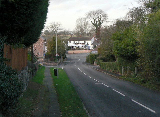
Image: © Alan Murray-Rust Taken: 25 Nov 2011
Possibly named from the fact that is rather enclosed by high banks. It is now part of the main road through the village, entering here from Seagrave.
Images are licensed for reuse under creativecommons.org/licenses/by-sa/2.0
Image Location
Latitude
52.77219
Longitude
-1.123198