St Laurence and All Saints Church
Introduction
The photograph on this page of St Laurence and All Saints Church by terry joyce as part of the Geograph project.
The Geograph project started in 2005 with the aim of publishing, organising and preserving representative images for every square kilometre of Great Britain, Ireland and the Isle of Man.

There are currently over 7.5m images from over 14,400 individuals and you can help contribute to the project by visiting https://www.geograph.org.uk
St Laurence and All Saints Church
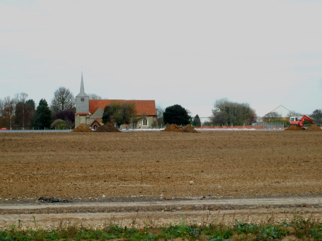
Image: © terry joyce Taken: 28 Nov 2011
This is looking across the end of the runway extension at Southend Airport to St Laurence and All Saints Church. Taken from the path above the new link road.
Images are licensed for reuse under creativecommons.org/licenses/by-sa/2.0
Image Location
Latitude
51.567608
Longitude
0.684653