Earthworks on the edge of Seagrave
Introduction
The photograph on this page of Earthworks on the edge of Seagrave by Alan Murray-Rust as part of the Geograph project.
The Geograph project started in 2005 with the aim of publishing, organising and preserving representative images for every square kilometre of Great Britain, Ireland and the Isle of Man.

There are currently over 7.5m images from over 14,400 individuals and you can help contribute to the project by visiting https://www.geograph.org.uk
Earthworks on the edge of Seagrave
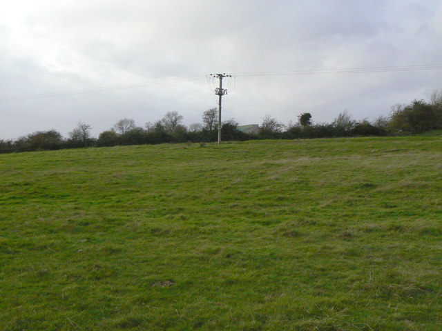
Image: © Alan Murray-Rust Taken: 25 Nov 2011
A complex of earthworks to the south east of the current village marks the site of abandoned medieval village development with definable house plots and hollow ways.
Images are licensed for reuse under creativecommons.org/licenses/by-sa/2.0
Image Location
Latitude
52.750419
Longitude
-1.085411