New housing at Seagrave
Introduction
The photograph on this page of New housing at Seagrave by Alan Murray-Rust as part of the Geograph project.
The Geograph project started in 2005 with the aim of publishing, organising and preserving representative images for every square kilometre of Great Britain, Ireland and the Isle of Man.

There are currently over 7.5m images from over 14,400 individuals and you can help contribute to the project by visiting https://www.geograph.org.uk
New housing at Seagrave
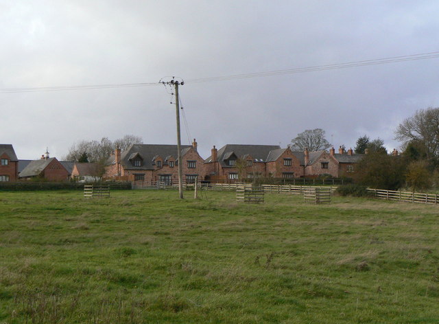
Image: © Alan Murray-Rust Taken: 25 Nov 2011
Off Pond Street. The visible earthworks are remains of part of the medieval village which has disappeared.
Images are licensed for reuse under creativecommons.org/licenses/by-sa/2.0
Image Location
Latitude
52.751319
Longitude
-1.085541