Former Park Farm buildings
Introduction
The photograph on this page of Former Park Farm buildings by Alan Murray-Rust as part of the Geograph project.
The Geograph project started in 2005 with the aim of publishing, organising and preserving representative images for every square kilometre of Great Britain, Ireland and the Isle of Man.

There are currently over 7.5m images from over 14,400 individuals and you can help contribute to the project by visiting https://www.geograph.org.uk
Former Park Farm buildings
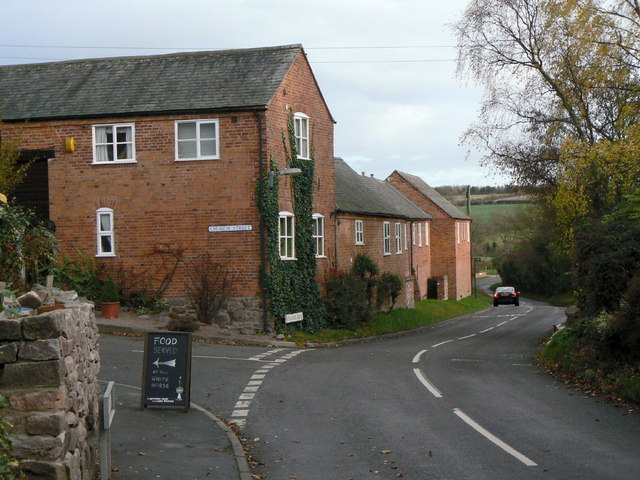
Image: © Alan Murray-Rust Taken: 25 Nov 2011
A range of farm buildings from around 1800, now converted to dwellings. Note the large barn entrance doorway right at the left. Listed Grade II.
Images are licensed for reuse under creativecommons.org/licenses/by-sa/2.0
Image Location
Latitude
52.751663
Longitude
-1.083459