Higherlands Farm
Introduction
The photograph on this page of Higherlands Farm by Anthony Vosper as part of the Geograph project.
The Geograph project started in 2005 with the aim of publishing, organising and preserving representative images for every square kilometre of Great Britain, Ireland and the Isle of Man.

There are currently over 7.5m images from over 14,400 individuals and you can help contribute to the project by visiting https://www.geograph.org.uk
Higherlands Farm
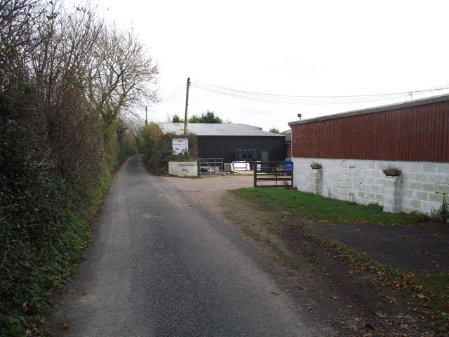
Image: © Anthony Vosper Taken: 28 Nov 2011
Home to a campsite and a small private airfield. The grass runway runs alongside the road.
Images are licensed for reuse under creativecommons.org/licenses/by-sa/2.0
Image Location
Latitude
50.698345
Longitude
-3.162997