Pear Tree Hill
Introduction
The photograph on this page of Pear Tree Hill by Ian Capper as part of the Geograph project.
The Geograph project started in 2005 with the aim of publishing, organising and preserving representative images for every square kilometre of Great Britain, Ireland and the Isle of Man.

There are currently over 7.5m images from over 14,400 individuals and you can help contribute to the project by visiting https://www.geograph.org.uk
Pear Tree Hill
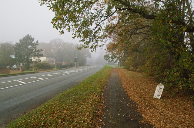
Image: © Ian Capper Taken: 20 Nov 2011
The A23 between Salfords and Horley is largely called Bonehurst Road, with the exception of a short stretch here where the name briefly changes to Pear Tree Hill. This was part of the turnpike south from Redhill dating from 1816. Note the milepost on the right - see Image for close up.
Images are licensed for reuse under creativecommons.org/licenses/by-sa/2.0
Image Location
Latitude
51.196115
Longitude
-0.164073