The Errington Arms at Port Gate
Introduction
The photograph on this page of The Errington Arms at Port Gate by Andrew Curtis as part of the Geograph project.
The Geograph project started in 2005 with the aim of publishing, organising and preserving representative images for every square kilometre of Great Britain, Ireland and the Isle of Man.

There are currently over 7.5m images from over 14,400 individuals and you can help contribute to the project by visiting https://www.geograph.org.uk
The Errington Arms at Port Gate
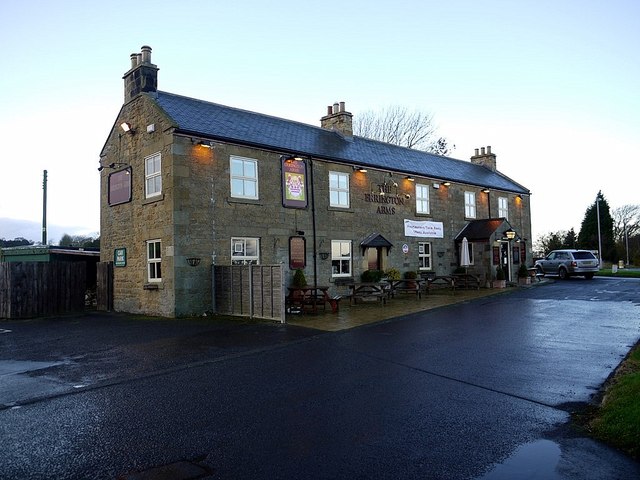
Image: © Andrew Curtis Taken: 25 Nov 2011
Port Gate was a gateway through Hadrian's Wall located south-west of the roundabout just north of the Errington Arms under the surface of the old Military Road. It provided a controlled crossing for Dere Street and historical details and limited excavation suggested it was fortified with towers on each side. http://www.pastscape.org.uk/hob.aspx?hob_id=18166&
Images are licensed for reuse under creativecommons.org/licenses/by-sa/2.0
Image Location
Latitude
55.012493
Longitude
-2.021549