Beverley Brook
Introduction
The photograph on this page of Beverley Brook by Russel Wills as part of the Geograph project.
The Geograph project started in 2005 with the aim of publishing, organising and preserving representative images for every square kilometre of Great Britain, Ireland and the Isle of Man.

There are currently over 7.5m images from over 14,400 individuals and you can help contribute to the project by visiting https://www.geograph.org.uk
Beverley Brook
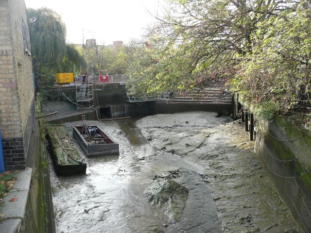
Image: © Russel Wills Taken: 18 Nov 2011
Beverley Brook rises at Cuddington Recreation Park in Worcester Park, flows through Motspur Park, New Malden, Wimbledon Common, Richmond Park and Barnes. It then joins the River Thames here near Putney Bridge at Barn Elms. Barn Elms is the proposed venue as a main drive shaft site for lowering in drilling equipment to create a new 21-mile Thames Tunnel "super sewer".
Images are licensed for reuse under creativecommons.org/licenses/by-sa/2.0
Image Location
Latitude
51.47148
Longitude
-0.223565