Junction of Sandpit Lane and Sandridge Road
Introduction
The photograph on this page of Junction of Sandpit Lane and Sandridge Road by Ian Capper as part of the Geograph project.
The Geograph project started in 2005 with the aim of publishing, organising and preserving representative images for every square kilometre of Great Britain, Ireland and the Isle of Man.

There are currently over 7.5m images from over 14,400 individuals and you can help contribute to the project by visiting https://www.geograph.org.uk
Junction of Sandpit Lane and Sandridge Road
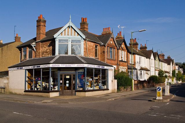
Image: © Ian Capper Taken: 2 Oct 2011
A terrace of villas along Sandpit Lane, ending in a former corner shop at its junction with Sandridge Road, now an electrical appliance spares shop. They date from around the turn of the 19th/20th Centuries. Prior to the development of this area it was outside the St Albans boundary, and was instead part of Sandridge. The area was absorbed into St Albans when the city boundaries were extended in 1879, but when developed was still known as Sandridge New Town. The houses are locally listed.
Images are licensed for reuse under creativecommons.org/licenses/by-sa/2.0
Image Location
Latitude
51.758631
Longitude
-0.331598