Playschool House
Introduction
The photograph on this page of Playschool House by Ian Capper as part of the Geograph project.
The Geograph project started in 2005 with the aim of publishing, organising and preserving representative images for every square kilometre of Great Britain, Ireland and the Isle of Man.

There are currently over 7.5m images from over 14,400 individuals and you can help contribute to the project by visiting https://www.geograph.org.uk
Playschool House
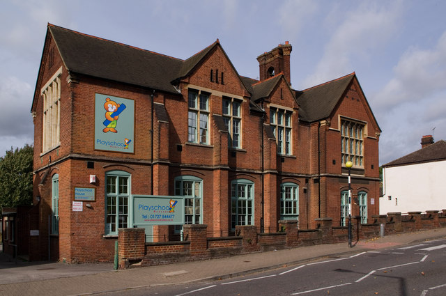
Image: © Ian Capper Taken: 4 Oct 2011
Former infants school ("St Albans School-Board Public Elementary School) built in 1882 and extended in 1890. Recently reopened as a nursery school. Locally listed.
Images are licensed for reuse under creativecommons.org/licenses/by-sa/2.0
Image Location
Latitude
51.749092
Longitude
-0.330472