Housing in Culcabock Avenue
Introduction
The photograph on this page of Housing in Culcabock Avenue by Richard Dorrell as part of the Geograph project.
The Geograph project started in 2005 with the aim of publishing, organising and preserving representative images for every square kilometre of Great Britain, Ireland and the Isle of Man.

There are currently over 7.5m images from over 14,400 individuals and you can help contribute to the project by visiting https://www.geograph.org.uk
Housing in Culcabock Avenue
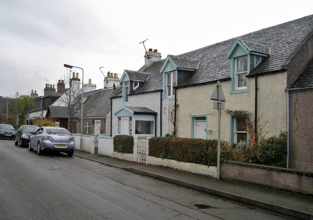
Image: © Richard Dorrell Taken: 23 Nov 2011
The road is lined with a variety of small houses mostly dating from the 19th century.
Images are licensed for reuse under creativecommons.org/licenses/by-sa/2.0
Image Location
Latitude
57.471904
Longitude
-4.199495