Tegg's Nose viewing table
Introduction
The photograph on this page of Tegg's Nose viewing table by Peter Turner as part of the Geograph project.
The Geograph project started in 2005 with the aim of publishing, organising and preserving representative images for every square kilometre of Great Britain, Ireland and the Isle of Man.

There are currently over 7.5m images from over 14,400 individuals and you can help contribute to the project by visiting https://www.geograph.org.uk
Tegg's Nose viewing table
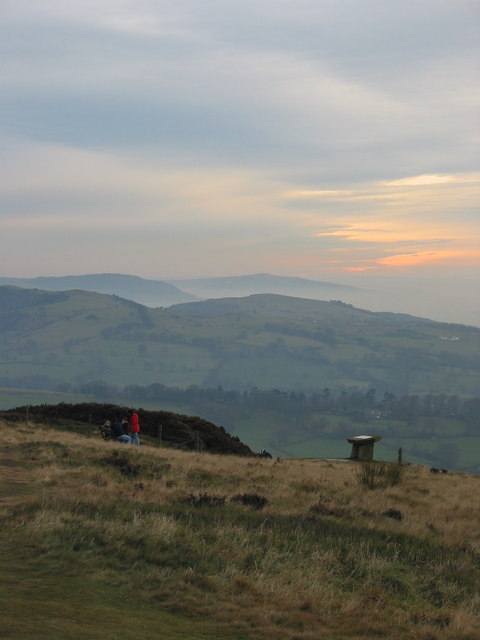
Image: © Peter Turner Taken: 23 Nov 2003
Salient points visible from near the highest point above the quarry faces identified on the viewing table, with the southerly view here showing Sutton Common, The Cloud and beyond the last visible hump of Mow Cop.
Images are licensed for reuse under creativecommons.org/licenses/by-sa/2.0
Image Location
Latitude
53.249848
Longitude
-2.080291