DLR bridge over Marsh Wall, South Quay (2)
Introduction
The photograph on this page of DLR bridge over Marsh Wall, South Quay (2) by David Anstiss as part of the Geograph project.
The Geograph project started in 2005 with the aim of publishing, organising and preserving representative images for every square kilometre of Great Britain, Ireland and the Isle of Man.

There are currently over 7.5m images from over 14,400 individuals and you can help contribute to the project by visiting https://www.geograph.org.uk
DLR bridge over Marsh Wall, South Quay (2)
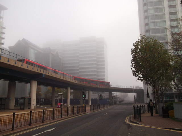
Image: © David Anstiss Taken: 20 Nov 2011
The concrete bridge carries an overhead light transit railway from Heron Quay Station towards South Quay Station. Around are various large office blocks.
Images are licensed for reuse under creativecommons.org/licenses/by-sa/2.0
Image Location
Latitude
51.500292
Longitude
-0.01814