The Military Road (B6318), Heddon-on-the-Wall
Introduction
The photograph on this page of The Military Road (B6318), Heddon-on-the-Wall by Mike Quinn as part of the Geograph project.
The Geograph project started in 2005 with the aim of publishing, organising and preserving representative images for every square kilometre of Great Britain, Ireland and the Isle of Man.

There are currently over 7.5m images from over 14,400 individuals and you can help contribute to the project by visiting https://www.geograph.org.uk
The Military Road (B6318), Heddon-on-the-Wall
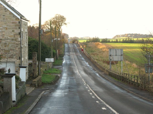
Image: © Mike Quinn Taken: 22 Nov 2011
The road lies on the line of Hadrian's Wall, with the north defensive ditch clearly visible on its right. Looking WNW along the line of the Wall towards the site of Turret 12a (Heddon West) at the top of the first rise. There is a "reverse" view (taken from beyond the speed restriction signs) in Image photographed by Oliver Dixon.
Images are licensed for reuse under creativecommons.org/licenses/by-sa/2.0
Image Location
Latitude
54.998309
Longitude
-1.79801