York Road
Introduction
The photograph on this page of York Road by Ian Capper as part of the Geograph project.
The Geograph project started in 2005 with the aim of publishing, organising and preserving representative images for every square kilometre of Great Britain, Ireland and the Isle of Man.

There are currently over 7.5m images from over 14,400 individuals and you can help contribute to the project by visiting https://www.geograph.org.uk
York Road
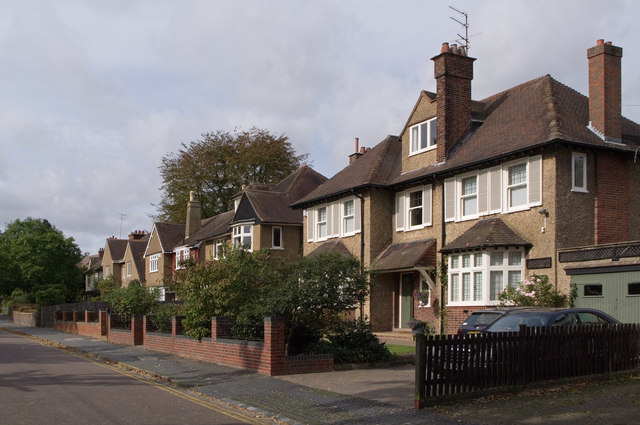
Image: © Ian Capper Taken: 4 Oct 2011
A road developed largely in the first two decades of the twentieth century. Only one side is built up, with Clarence Park running up to the road on the south. Almost all the houses are locally listed, including all the ones seen here.
Images are licensed for reuse under creativecommons.org/licenses/by-sa/2.0
Image Location
Latitude
51.75508
Longitude
-0.321529