Farmer's underpass
Introduction
The photograph on this page of Farmer's underpass by Antony Dixon as part of the Geograph project.
The Geograph project started in 2005 with the aim of publishing, organising and preserving representative images for every square kilometre of Great Britain, Ireland and the Isle of Man.

There are currently over 7.5m images from over 14,400 individuals and you can help contribute to the project by visiting https://www.geograph.org.uk
Farmer's underpass
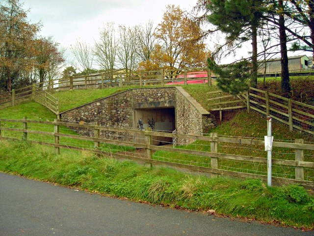
Image: © Antony Dixon Taken: 22 Nov 2011
This underpass was built for the farmer's use when the A4042 was straightened here. The old road (seen in the foreground) has been left as a very handy layby with attractive views.
Images are licensed for reuse under creativecommons.org/licenses/by-sa/2.0
Image Location
Latitude
51.755358
Longitude
-2.989589