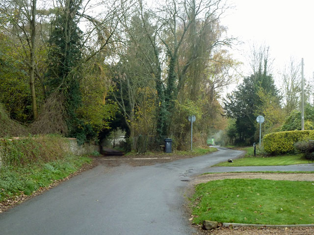
Junction of Dirtham Lane and Calvert Road
Introduction
The photograph on this page of Junction of Dirtham Lane and Calvert Road by Robin Webster as part of the Geograph project.
The Geograph project started in 2005 with the aim of publishing, organising and preserving representative images for every square kilometre of Great Britain, Ireland and the Isle of Man.
There are currently over 7.5m images from over 14,400 individuals and you can help contribute to the project by visiting https://www.geograph.org.uk

Image: © Robin Webster Taken: 22 Nov 2011
A bizarre junction. Dirtham Lane comes from behind the viewpoint and continues to the left as a track, but with full public road status. Branching right is Calvert Road, not a public road but owned by Guildford Borough Council. Dirtham Lane has a 30 limit, and the signs denote this, but unusually with no advice on this side, presumably because beyond is not a public highway. The track to the left continues with a 30 limit and repeater signs at intervals. The routes eventually reunite.

