School House, Trecenydd, Caerphilly
Introduction
The photograph on this page of School House, Trecenydd, Caerphilly by Jaggery as part of the Geograph project.
The Geograph project started in 2005 with the aim of publishing, organising and preserving representative images for every square kilometre of Great Britain, Ireland and the Isle of Man.

There are currently over 7.5m images from over 14,400 individuals and you can help contribute to the project by visiting https://www.geograph.org.uk
School House, Trecenydd, Caerphilly
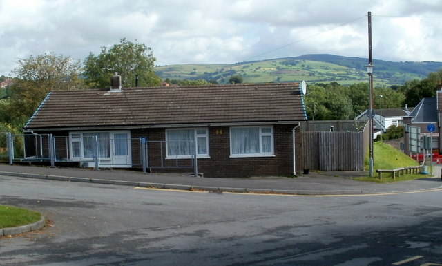
Image: © Jaggery Taken: 25 Aug 2011
School House is a bungalow located on the access road from St Cenydd Road to Hendre Junior School, http://www.geograph.org.uk/photo/2703532 St Cenydd Community School http://www.geograph.org.uk/photo/2703547 and St Cenydd Leisure Centre. http://www.geograph.org.uk/photo/2703544
Images are licensed for reuse under creativecommons.org/licenses/by-sa/2.0
Image Location
Latitude
51.58069
Longitude
-3.241096