Castleton, High Street
Introduction
The photograph on this page of Castleton, High Street by Graham Horn as part of the Geograph project.
The Geograph project started in 2005 with the aim of publishing, organising and preserving representative images for every square kilometre of Great Britain, Ireland and the Isle of Man.

There are currently over 7.5m images from over 14,400 individuals and you can help contribute to the project by visiting https://www.geograph.org.uk
Castleton, High Street
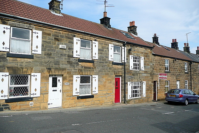
Image: © Graham Horn Taken: 23 Sep 2011
Stone built cottages, possibly Victorian but certainly re-roofed at some point. One of these is for sale if you are interested.
Images are licensed for reuse under creativecommons.org/licenses/by-sa/2.0
Image Location
Latitude
54.462982
Longitude
-0.938578