King's Stanley War Memorial
Introduction
The photograph on this page of King's Stanley War Memorial by Jaggery as part of the Geograph project.
The Geograph project started in 2005 with the aim of publishing, organising and preserving representative images for every square kilometre of Great Britain, Ireland and the Isle of Man.

There are currently over 7.5m images from over 14,400 individuals and you can help contribute to the project by visiting https://www.geograph.org.uk
King's Stanley War Memorial
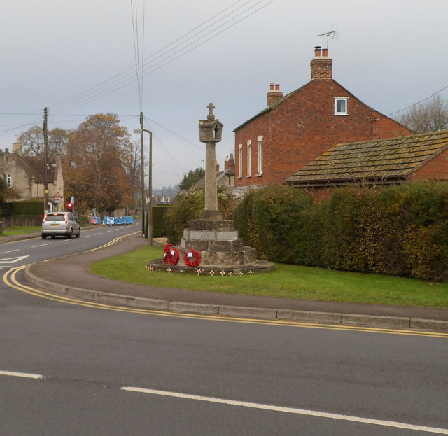
Image: © Jaggery Taken: 20 Nov 2011
Located in the centre of the village, facing the junction of High Street and Broad Street, and The Kings Head. http://www.geograph.org.uk/photo/2702231
Images are licensed for reuse under creativecommons.org/licenses/by-sa/2.0
Image Location
Latitude
51.729892
Longitude
-2.275056