Pub sign, The Kings Head, King's Stanley
Introduction
The photograph on this page of Pub sign, The Kings Head, King's Stanley by Jaggery as part of the Geograph project.
The Geograph project started in 2005 with the aim of publishing, organising and preserving representative images for every square kilometre of Great Britain, Ireland and the Isle of Man.

There are currently over 7.5m images from over 14,400 individuals and you can help contribute to the project by visiting https://www.geograph.org.uk
Pub sign, The Kings Head, King's Stanley
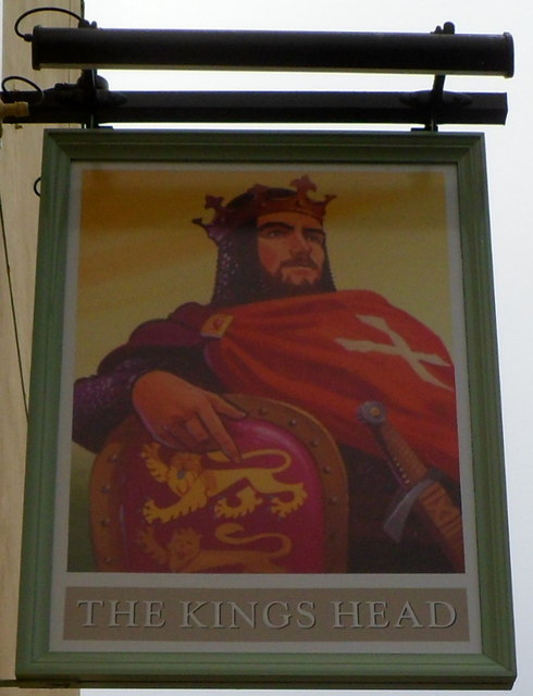
Image: © Jaggery Taken: 20 Nov 2011
The Grade II listed pub http://www.geograph.org.uk/photo/2702231 in the centre of King's Stanley has a new look since this view http://www.geograph.org.uk/photo/1982786 taken the previous year. At that time, the pub sign (on the right) depicted Henry VIII. The current one looks like a standard representation of Richard I (the Lionheart).
Images are licensed for reuse under creativecommons.org/licenses/by-sa/2.0
Image Location
Latitude
51.729892
Longitude
-2.275056