Buckley Road, Lillington
Introduction
The photograph on this page of Buckley Road, Lillington by Stephen McKay as part of the Geograph project.
The Geograph project started in 2005 with the aim of publishing, organising and preserving representative images for every square kilometre of Great Britain, Ireland and the Isle of Man.

There are currently over 7.5m images from over 14,400 individuals and you can help contribute to the project by visiting https://www.geograph.org.uk
Buckley Road, Lillington
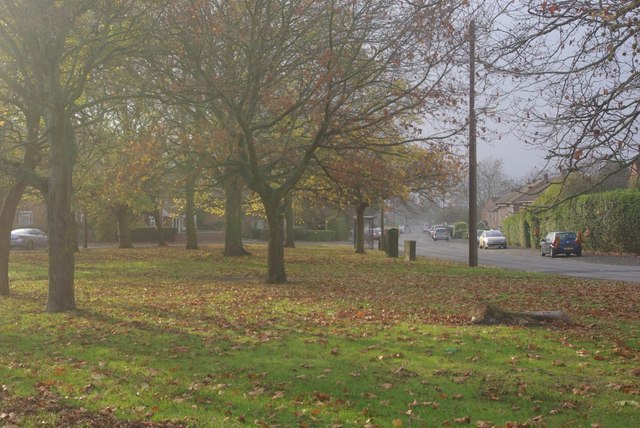
Image: © Stephen McKay Taken: 19 Nov 2011
To the south east of Cubbington Road is a large area of post-war local authority housing. In common with many such estates of its era, there is plenty of green open space; here the houses on Buckley Road are set back behind an area of grass and trees.
Images are licensed for reuse under creativecommons.org/licenses/by-sa/2.0
Image Location


Leaflet Map data © OpenStreetMap
Latitude
52.297609
Longitude
-1.514737