Old level crossing by the A361
Introduction
The photograph on this page of Old level crossing by the A361 by Shaun Ferguson as part of the Geograph project.
The Geograph project started in 2005 with the aim of publishing, organising and preserving representative images for every square kilometre of Great Britain, Ireland and the Isle of Man.

There are currently over 7.5m images from over 14,400 individuals and you can help contribute to the project by visiting https://www.geograph.org.uk
Old level crossing by the A361
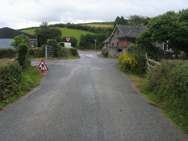
Image: © Shaun Ferguson Taken: 6 Jul 2011
Lane from North Buckland at the old level crossing by the A361
Images are licensed for reuse under creativecommons.org/licenses/by-sa/2.0
Image Location
Latitude
51.138747
Longitude
-4.150934