King's Community Church, King Street, Aberdeen
Introduction
The photograph on this page of King's Community Church, King Street, Aberdeen by Bill Harrison as part of the Geograph project.
The Geograph project started in 2005 with the aim of publishing, organising and preserving representative images for every square kilometre of Great Britain, Ireland and the Isle of Man.

There are currently over 7.5m images from over 14,400 individuals and you can help contribute to the project by visiting https://www.geograph.org.uk
King's Community Church, King Street, Aberdeen
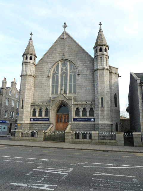
Image: © Bill Harrison Taken: 19 Nov 2011
Originally St Andrews Free Church. As early as 1909, it merged with Nelson Street UF Church (see: http://www.geograph.org.uk/photo/3457009 ), when it was renamed King Street UF Church.
Images are licensed for reuse under creativecommons.org/licenses/by-sa/2.0
Image Location
Latitude
57.154288
Longitude
-2.094697