Church Charwelton
Introduction
The photograph on this page of Church Charwelton by Greg Fitchett as part of the Geograph project.
The Geograph project started in 2005 with the aim of publishing, organising and preserving representative images for every square kilometre of Great Britain, Ireland and the Isle of Man.

There are currently over 7.5m images from over 14,400 individuals and you can help contribute to the project by visiting https://www.geograph.org.uk
Church Charwelton
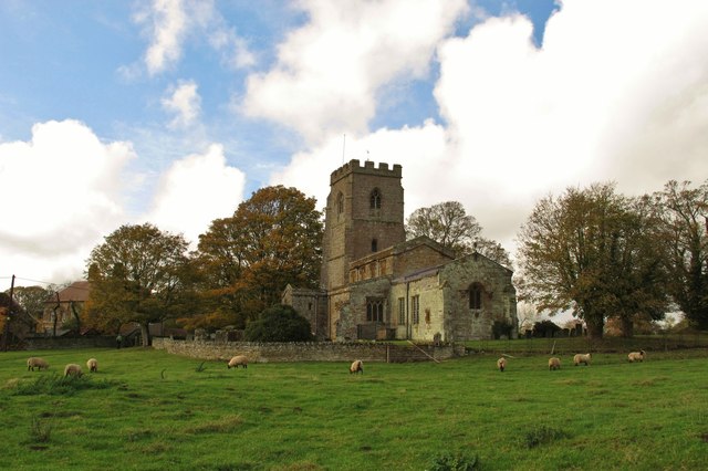
Image: © Greg Fitchett Taken: 4 Nov 2011
The church of Holy Trinity and the adjacent Church Farm are all that remains of the medieval village of Little Charwelton, approached along a gated road from the village of Charwelton. The Jurassic Way long-distance footpath passes through the churchyard.
Images are licensed for reuse under creativecommons.org/licenses/by-sa/2.0
Image Location


Leaflet Map data © OpenStreetMap
Latitude
52.195234
Longitude
-1.204525