Park road on the right meets Sandy Cross Lane
Introduction
The photograph on this page of Park road on the right meets Sandy Cross Lane by Dave Spicer as part of the Geograph project.
The Geograph project started in 2005 with the aim of publishing, organising and preserving representative images for every square kilometre of Great Britain, Ireland and the Isle of Man.

There are currently over 7.5m images from over 14,400 individuals and you can help contribute to the project by visiting https://www.geograph.org.uk
Park road on the right meets Sandy Cross Lane
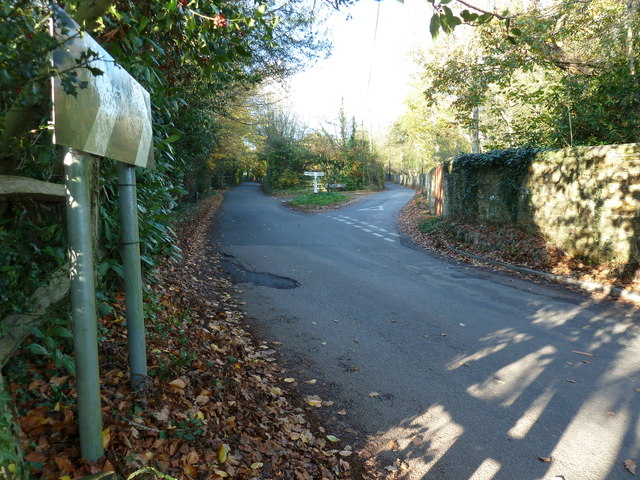
Image: © Dave Spicer Taken: 13 Nov 2011
The aptly named Park Road is the western edge of Heathfield Park an old country estate dating back to the seventeen hundreds. The grounds and house have been remodelled a few times since then. Part of the park has SSSI status for its Lichen habitat.
Images are licensed for reuse under creativecommons.org/licenses/by-sa/2.0
Image Location
Latitude
50.958256
Longitude
0.265153