The Glebe
Introduction
The photograph on this page of The Glebe by Ian Capper as part of the Geograph project.
The Geograph project started in 2005 with the aim of publishing, organising and preserving representative images for every square kilometre of Great Britain, Ireland and the Isle of Man.

There are currently over 7.5m images from over 14,400 individuals and you can help contribute to the project by visiting https://www.geograph.org.uk
The Glebe
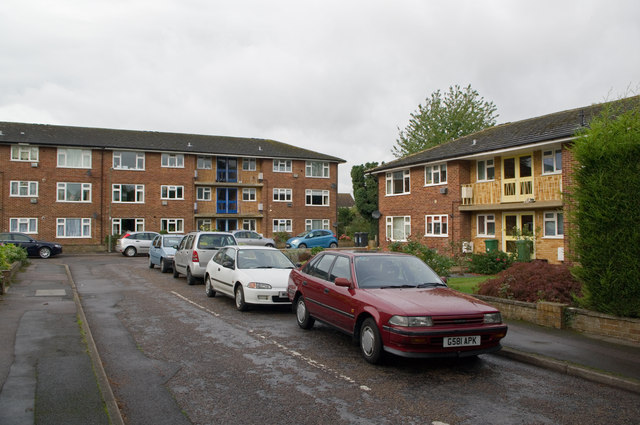
Image: © Ian Capper Taken: 9 Oct 2011
A close built in 1962 on the site of the former Horley Vicarage (hence Vicarage Lane, the road off which it comes off).
Images are licensed for reuse under creativecommons.org/licenses/by-sa/2.0
Image Location
Latitude
51.175792
Longitude
-0.172749