Court Lodge Estate
Introduction
The photograph on this page of Court Lodge Estate by Ian Capper as part of the Geograph project.
The Geograph project started in 2005 with the aim of publishing, organising and preserving representative images for every square kilometre of Great Britain, Ireland and the Isle of Man.

There are currently over 7.5m images from over 14,400 individuals and you can help contribute to the project by visiting https://www.geograph.org.uk
Court Lodge Estate
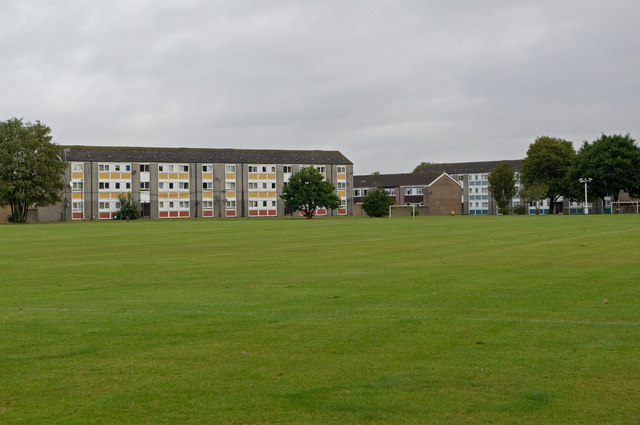
Image: © Ian Capper Taken: 9 Oct 2011
Flats in Thornton Place, on the Court Lodge Estate. Built in the late 1960s for the then Horley and Dorking Rural District Council. Thornton Place (and neighbouring Thornton Close) is named after a 17th century local landowning family. Viewed across the Court Lodge Playing Fields.
Images are licensed for reuse under creativecommons.org/licenses/by-sa/2.0
Image Location
Latitude
51.173624
Longitude
-0.176797