North End Cottages
Introduction
The photograph on this page of North End Cottages by Alan Murray-Rust as part of the Geograph project.
The Geograph project started in 2005 with the aim of publishing, organising and preserving representative images for every square kilometre of Great Britain, Ireland and the Isle of Man.

There are currently over 7.5m images from over 14,400 individuals and you can help contribute to the project by visiting https://www.geograph.org.uk
North End Cottages
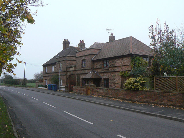
Image: © Alan Murray-Rust Taken: 11 Nov 2011
The arch is dated 1921, but older maps show buildings on the site so they were doubtless reconstructed at that date. The architectural style is unusual for estate cottages.
Images are licensed for reuse under creativecommons.org/licenses/by-sa/2.0
Image Location
Latitude
52.911776
Longitude
-1.084248