Hall Farmhouse and Plumtree Church
Introduction
The photograph on this page of Hall Farmhouse and Plumtree Church by Alan Murray-Rust as part of the Geograph project.
The Geograph project started in 2005 with the aim of publishing, organising and preserving representative images for every square kilometre of Great Britain, Ireland and the Isle of Man.

There are currently over 7.5m images from over 14,400 individuals and you can help contribute to the project by visiting https://www.geograph.org.uk
Hall Farmhouse and Plumtree Church
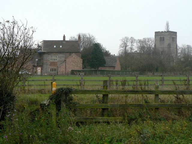
Image: © Alan Murray-Rust Taken: 11 Nov 2011
This view shows the rear of Hall Farmhouse http://www.geograph.org.uk/photo/2696205 with its fine 17th century stone mullioned windows.
Images are licensed for reuse under creativecommons.org/licenses/by-sa/2.0
Image Location
Latitude
52.892473
Longitude
-1.087478