Waterslade Spring
Introduction
The photograph on this page of Waterslade Spring by Ian Capper as part of the Geograph project.
The Geograph project started in 2005 with the aim of publishing, organising and preserving representative images for every square kilometre of Great Britain, Ireland and the Isle of Man.

There are currently over 7.5m images from over 14,400 individuals and you can help contribute to the project by visiting https://www.geograph.org.uk
Waterslade Spring
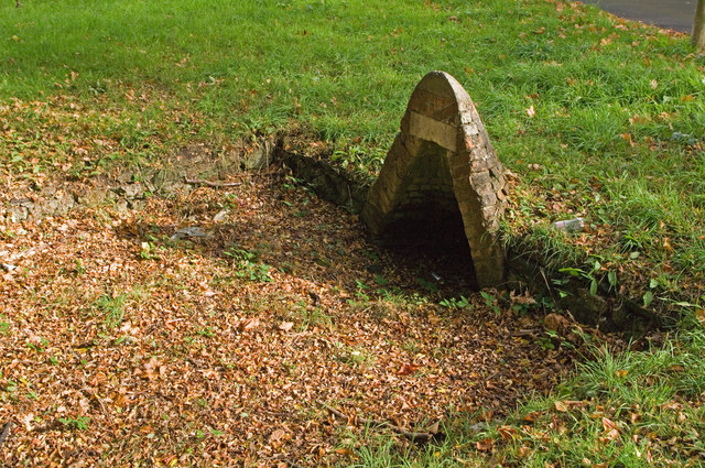
Image: © Ian Capper Taken: 9 Oct 2011
One of a number of springs around Redhill Common - see Image for another one. Although its accompanying pool is obvious, it has been largely dry for some years. The white brick above the arch originally carried the words Waterslade Spring. The name derives from the farm that used to be here, Waterslade Farm, before it was developed in the 1870s. For a wider view, see Image
Images are licensed for reuse under creativecommons.org/licenses/by-sa/2.0
Image Location
Latitude
51.236543
Longitude
-0.179397