Canewdon: east end of the High Street
Introduction
The photograph on this page of Canewdon: east end of the High Street by Chris Downer as part of the Geograph project.
The Geograph project started in 2005 with the aim of publishing, organising and preserving representative images for every square kilometre of Great Britain, Ireland and the Isle of Man.

There are currently over 7.5m images from over 14,400 individuals and you can help contribute to the project by visiting https://www.geograph.org.uk
Canewdon: east end of the High Street
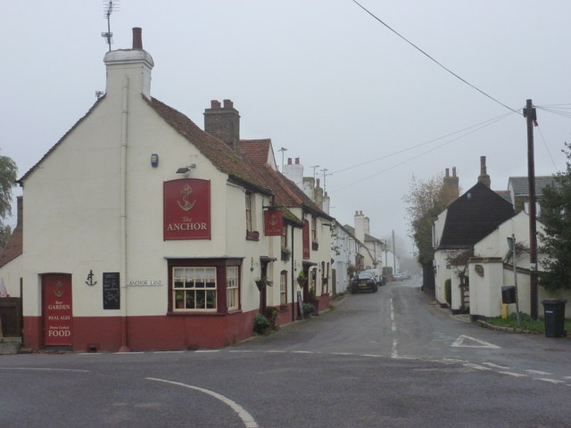
Image: © Chris Downer Taken: 11 Nov 2011
Looking along the High Street from the corner of Anchor Lane (left) which clearly is named after the pub on the corner.
Images are licensed for reuse under creativecommons.org/licenses/by-sa/2.0
Image Location
Latitude
51.617493
Longitude
0.74423