Framework Knitters cottages
Introduction
The photograph on this page of Framework Knitters cottages by Alan Murray-Rust as part of the Geograph project.
The Geograph project started in 2005 with the aim of publishing, organising and preserving representative images for every square kilometre of Great Britain, Ireland and the Isle of Man.

There are currently over 7.5m images from over 14,400 individuals and you can help contribute to the project by visiting https://www.geograph.org.uk
Framework Knitters cottages
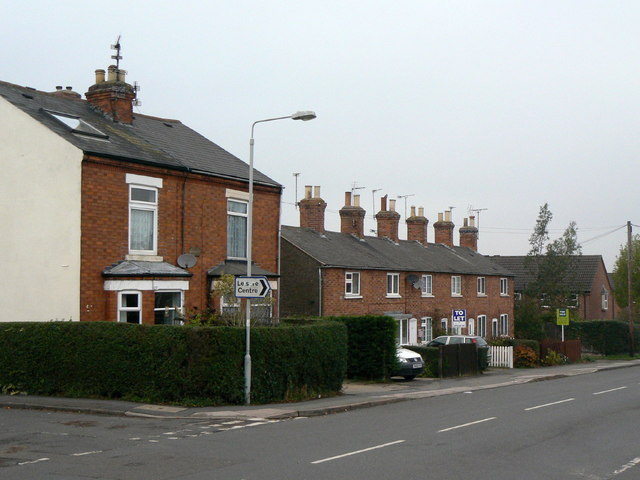
Image: © Alan Murray-Rust Taken: 11 Nov 2011
Built during the expansion of the framework knitting industry in the mid 19th century along the road to Nottingham, these cottages were a bit detached from the older medieval village. They marked the first significant expansion of the modern village.
Images are licensed for reuse under creativecommons.org/licenses/by-sa/2.0
Image Location
Latitude
52.874511
Longitude
-1.089787