Temporarily blocked northern end of St Cenydd Road, Caerphilly
Introduction
The photograph on this page of Temporarily blocked northern end of St Cenydd Road, Caerphilly by Jaggery as part of the Geograph project.
The Geograph project started in 2005 with the aim of publishing, organising and preserving representative images for every square kilometre of Great Britain, Ireland and the Isle of Man.

There are currently over 7.5m images from over 14,400 individuals and you can help contribute to the project by visiting https://www.geograph.org.uk
Temporarily blocked northern end of St Cenydd Road, Caerphilly
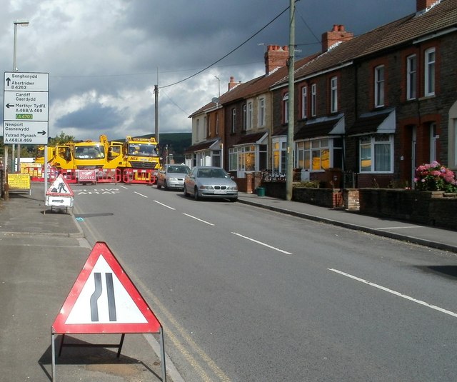
Image: © Jaggery Taken: 25 Aug 2011
A black-on-yellow Caerphilly County Borough sign on the left states that the road ahead is closed from August 25th to September 1st 2011. Viewed on the first day of the closure.
Images are licensed for reuse under creativecommons.org/licenses/by-sa/2.0
Image Location
Latitude
51.578907
Longitude
-3.239604