River Trent at North Muskham
Introduction
The photograph on this page of River Trent at North Muskham by Trevor Rickard as part of the Geograph project.
The Geograph project started in 2005 with the aim of publishing, organising and preserving representative images for every square kilometre of Great Britain, Ireland and the Isle of Man.

There are currently over 7.5m images from over 14,400 individuals and you can help contribute to the project by visiting https://www.geograph.org.uk
River Trent at North Muskham
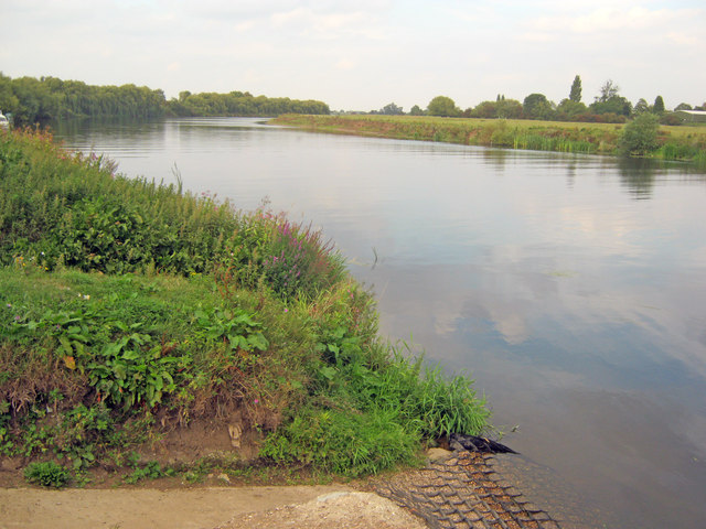
Image: © Trevor Rickard Taken: 2 Sep 2011
Looking north and downstream from what was once the ferry landing point.
Images are licensed for reuse under creativecommons.org/licenses/by-sa/2.0
Image Location
Latitude
53.121217
Longitude
-0.808439