Grazing land at Brookside Wood
Introduction
The photograph on this page of Grazing land at Brookside Wood by Dr Duncan Pepper as part of the Geograph project.
The Geograph project started in 2005 with the aim of publishing, organising and preserving representative images for every square kilometre of Great Britain, Ireland and the Isle of Man.

There are currently over 7.5m images from over 14,400 individuals and you can help contribute to the project by visiting https://www.geograph.org.uk
Grazing land at Brookside Wood
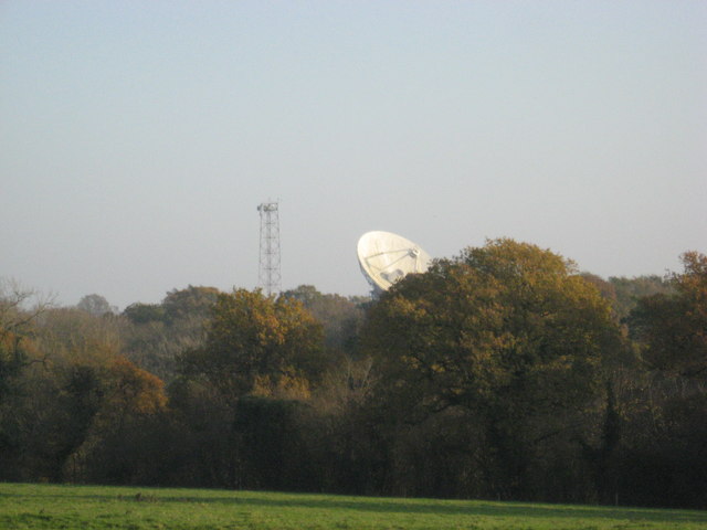
Image: © Dr Duncan Pepper Taken: 15 Nov 2011
The Darnhall radio-telescope can just be seen peeping incongruously above the farmland.
Images are licensed for reuse under creativecommons.org/licenses/by-sa/2.0
Image Location
Latitude
53.16054
Longitude
-2.544208