Sudbrook level crossing
Introduction
The photograph on this page of Sudbrook level crossing by Kate Jewell as part of the Geograph project.
The Geograph project started in 2005 with the aim of publishing, organising and preserving representative images for every square kilometre of Great Britain, Ireland and the Isle of Man.

There are currently over 7.5m images from over 14,400 individuals and you can help contribute to the project by visiting https://www.geograph.org.uk
Sudbrook level crossing
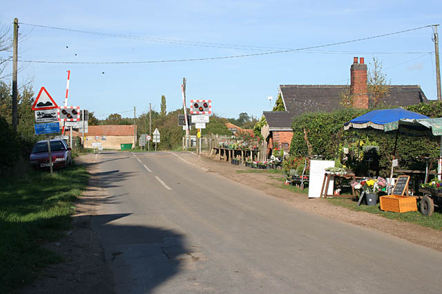
Image: © Kate Jewell Taken: 29 Oct 2006
The small nursery and market garden on Rookery Lane displays its wares at the side of the road.
Images are licensed for reuse under creativecommons.org/licenses/by-sa/2.0
Image Location
Latitude
52.988224
Longitude
-0.55393