The Borough Stone at Gillingstool
Introduction
The photograph on this page of The Borough Stone at Gillingstool by Ruth Riddle as part of the Geograph project.
The Geograph project started in 2005 with the aim of publishing, organising and preserving representative images for every square kilometre of Great Britain, Ireland and the Isle of Man.

There are currently over 7.5m images from over 14,400 individuals and you can help contribute to the project by visiting https://www.geograph.org.uk
The Borough Stone at Gillingstool
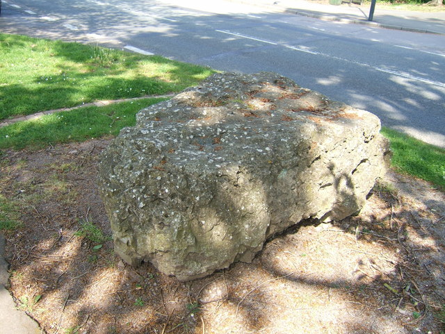
Image: © Ruth Riddle Taken: 27 Apr 2011
This stone marks the historic boundary of Thornbury on its eastern side. The original stone disappeared at the end of the 19th century, and this replacement, of local "Thornbury Rock" (Dolomitic Conglomerate of the Triassic period) was installed in 1996.
Images are licensed for reuse under creativecommons.org/licenses/by-sa/2.0
Image Location
Latitude
51.60714
Longitude
-2.520373