Along the lake
Introduction
The photograph on this page of Along the lake by Jonathan Kington as part of the Geograph project.
The Geograph project started in 2005 with the aim of publishing, organising and preserving representative images for every square kilometre of Great Britain, Ireland and the Isle of Man.

There are currently over 7.5m images from over 14,400 individuals and you can help contribute to the project by visiting https://www.geograph.org.uk
Along the lake
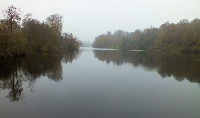
Image: © Jonathan Kington Taken: 14 Nov 2011
Looking along Fonthill Lake from the dam (Image) on a damp and gloomy day in November. For a view in better weather see Image by Trish Steel. The lake was created in the 17th century to provide hydro-electricity to power a nearby flax mill, after the closure of the mill the water wheels were used to pump water to the estate buildings. A new hydro-electric scheme has now been developed to provide power to the estate with any excess being sold to the National Grid.
Images are licensed for reuse under creativecommons.org/licenses/by-sa/2.0
Image Location
Latitude
51.080804
Longitude
-2.092312