Approaching the A51 at Sandon
Introduction
The photograph on this page of Approaching the A51 at Sandon by Mick Malpass as part of the Geograph project.
The Geograph project started in 2005 with the aim of publishing, organising and preserving representative images for every square kilometre of Great Britain, Ireland and the Isle of Man.

There are currently over 7.5m images from over 14,400 individuals and you can help contribute to the project by visiting https://www.geograph.org.uk
Approaching the A51 at Sandon
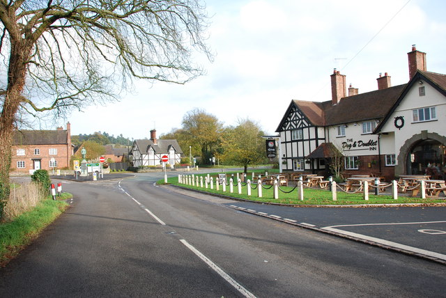
Image: © Mick Malpass Taken: 12 Nov 2011
Looking towards the junction of the Sandon road and the A51 Lichfield road. On the island to the left of the picture is the war memorial. On the right is the Dog and Doublet Inn. http://www.doganddoubletsandon.co.uk/
Images are licensed for reuse under creativecommons.org/licenses/by-sa/2.0
Image Location
Latitude
52.861341
Longitude
-2.078381