Grass runway 27 at Ashcroft Farm private airstrip
Introduction
The photograph on this page of Grass runway 27 at Ashcroft Farm private airstrip by Dr Duncan Pepper as part of the Geograph project.
The Geograph project started in 2005 with the aim of publishing, organising and preserving representative images for every square kilometre of Great Britain, Ireland and the Isle of Man.

There are currently over 7.5m images from over 14,400 individuals and you can help contribute to the project by visiting https://www.geograph.org.uk
Grass runway 27 at Ashcroft Farm private airstrip
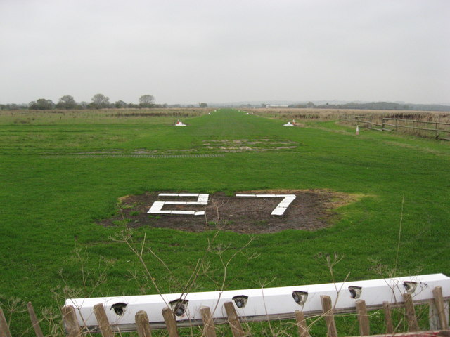
Image: © Dr Duncan Pepper Taken: 14 Nov 2011
Which means take-off and landing is on a heading of 270 degrees or West in old speak.
Images are licensed for reuse under creativecommons.org/licenses/by-sa/2.0
Image Location
Latitude
53.164022
Longitude
-2.568483