Southover Place (updated)
Introduction
The photograph on this page of Southover Place (updated) by Richard Sanders as part of the Geograph project.
The Geograph project started in 2005 with the aim of publishing, organising and preserving representative images for every square kilometre of Great Britain, Ireland and the Isle of Man.

There are currently over 7.5m images from over 14,400 individuals and you can help contribute to the project by visiting https://www.geograph.org.uk
Southover Place (updated)
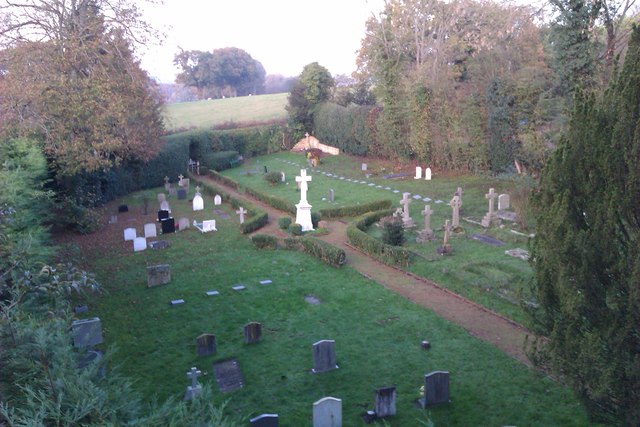
Image: © Richard Sanders Taken: 13 Nov 2011
View looking out over the graveyard from the former seminary, Southover Place. This is an up-date of the picture I submitted in 2006 http://www.geograph.org.uk/photo/297610.
Images are licensed for reuse under creativecommons.org/licenses/by-sa/2.0
Image Location
Latitude
51.003172
Longitude
0.363128