Cow Lane Whaley Bridge
Introduction
The photograph on this page of Cow Lane Whaley Bridge by Bob Prophet as part of the Geograph project.
The Geograph project started in 2005 with the aim of publishing, organising and preserving representative images for every square kilometre of Great Britain, Ireland and the Isle of Man.

There are currently over 7.5m images from over 14,400 individuals and you can help contribute to the project by visiting https://www.geograph.org.uk
Cow Lane Whaley Bridge
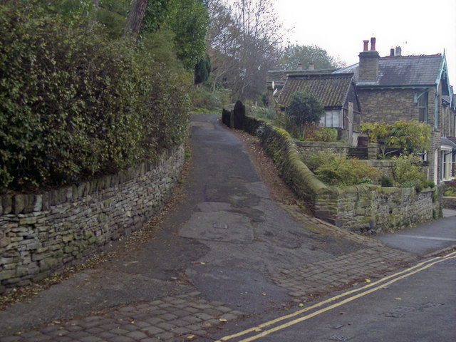
Image: © Bob Prophet Taken: 11 Nov 2011
A footpath connecting Reservoir Road and Orchard Road. The original footpath was setted but has now been covered in macadam. However, the original stone setts can still be seen at the bottom of the path on Reservoir Road and along the right hand edge of the footpath.
Images are licensed for reuse under creativecommons.org/licenses/by-sa/2.0
Image Location
Latitude
53.328705
Longitude
-1.986147