Muriau
Introduction
The photograph on this page of Muriau by Alan Fryer as part of the Geograph project.
The Geograph project started in 2005 with the aim of publishing, organising and preserving representative images for every square kilometre of Great Britain, Ireland and the Isle of Man.

There are currently over 7.5m images from over 14,400 individuals and you can help contribute to the project by visiting https://www.geograph.org.uk
Muriau
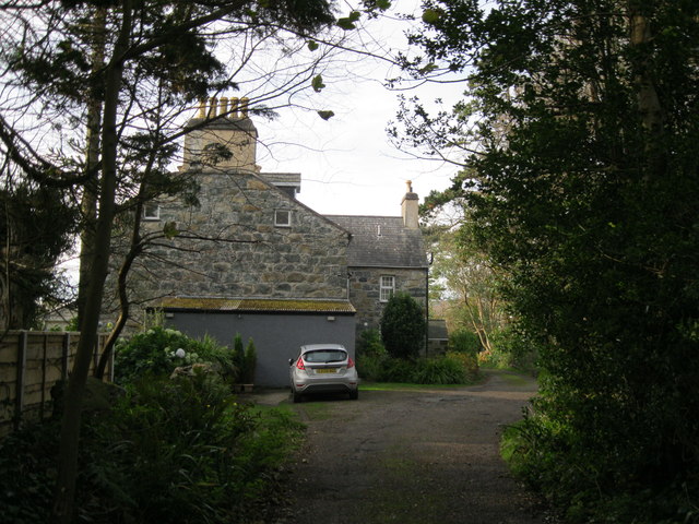
Image: © Alan Fryer Taken: 13 Nov 2011
Originally one of two farms to the east of Criccieth, its outbuildings now converted to residential use and its land long since developed as a housing estate. See also Image
Images are licensed for reuse under creativecommons.org/licenses/by-sa/2.0
Image Location
Latitude
52.917042
Longitude
-4.243243