Towpath towards Sonning
Introduction
The photograph on this page of Towpath towards Sonning by Mike McMillan as part of the Geograph project.
The Geograph project started in 2005 with the aim of publishing, organising and preserving representative images for every square kilometre of Great Britain, Ireland and the Isle of Man.

There are currently over 7.5m images from over 14,400 individuals and you can help contribute to the project by visiting https://www.geograph.org.uk
Towpath towards Sonning
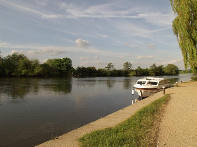
Image: © Mike McMillan Taken: 29 May 2001
Kennetside Towpath where it joins the River Thames (looking towards Sonning Lock)
Images are licensed for reuse under creativecommons.org/licenses/by-sa/2.0
Image Location


Leaflet Map data © OpenStreetMap
Latitude
51.455718
Longitude
-0.94355