Council Housing - Flats in Woodcross
Introduction
The photograph on this page of Council Housing - Flats in Woodcross by John M as part of the Geograph project.
The Geograph project started in 2005 with the aim of publishing, organising and preserving representative images for every square kilometre of Great Britain, Ireland and the Isle of Man.

There are currently over 7.5m images from over 14,400 individuals and you can help contribute to the project by visiting https://www.geograph.org.uk
Council Housing - Flats in Woodcross
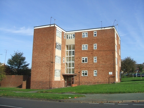
Image: © John M Taken: 29 Oct 2006
These flats at the corner of Mount Road and Dovedale Road have a view out over the cemetery and up to Sedgley Beacon.
Images are licensed for reuse under creativecommons.org/licenses/by-sa/2.0
Image Location
Latitude
52.549196
Longitude
-2.110561